

This article is the seventh in a series exploring the rich historical information contained within H.S. Knapp’s 1873 work, “History of the Maumee Valley.” It is important for the modern reader to recognize that this text, like most historical documents of its time, is written from a white, Euro-American perspective. The voices, motivations, and sufferings of the Native American tribes are often interpreted through the lens of their conquerors. In this series, we will adhere strictly to the details provided in Knapp’s collection, presenting the events as they were recorded, while acknowledging that this is only one side of a complex and often tragic story. By focusing on specific themes and locations, we aim to illuminate the pivotal events and figures that shaped the settlement and development of the region, with a special emphasis on Mercer and Auglaize counties.
7. Girty’s Town to Canal Hub: The Transformation of St. Mary’s
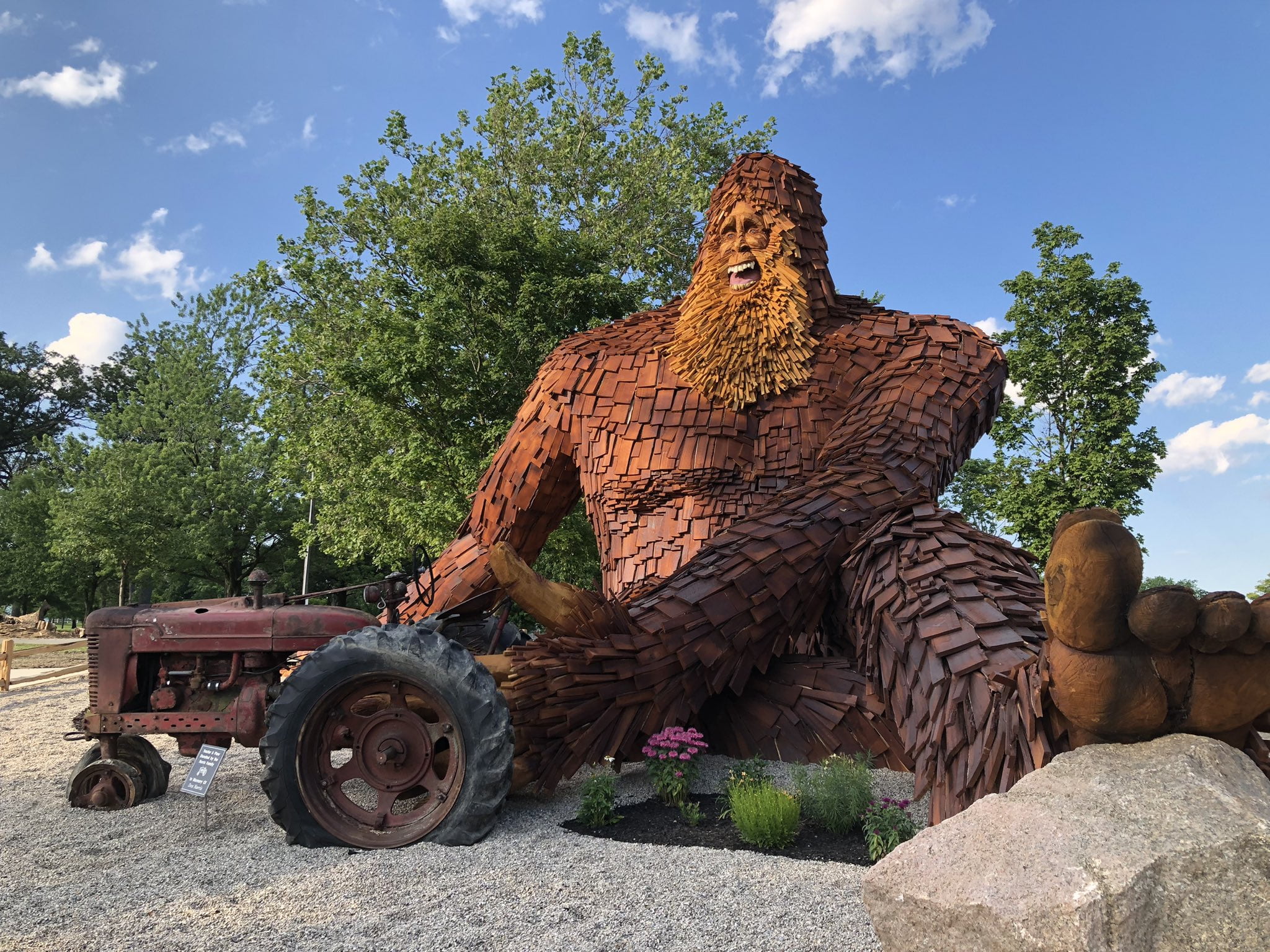
Long before it became a bustling canal town, the settlement of St. Mary’s (Editor’s note: the souce uses this spelling for St. Marys). was a place of strategic importance, known on the frontier by a more sinister name: Girty’s Town. Named for the infamous renegade Simon Girty, who at one time lived there, its location on the west bank of the St. Mary’s River made it a natural crossroads for Indian trails and a key point on the water route to the Maumee. Its history is a microcosm of the entire valley’s transformation from a military outpost to a center of commerce.
During the War of 1812, its military value was paramount. The text notes that General Harrison’s army reached St. Mary’s on September 8, 1812, on its march to relieve the besieged garrison at Fort Wayne. At that time, “some block houses” had been built there “for the security of provisions, and protection of the sick.” It served as a vital depot, a place where armies gathered and from which supplies were dispatched into the wilderness. It was at St. Mary’s that Harrison’s force of 3,500 men was finally assembled, after being joined by Colonel Richard M. Johnson’s mounted volunteers and the Ohio regiments under Colonels Adams and Hawkins.
The transition from a military post to a civil settlement began with the treaties negotiated there in the fall of 1818. The text records that these crucial agreements with the Wyandot, Seneca, Shawanee, and other tribes were held at the house of Charles Murray, described as “the first white Indian trader who settled upon the banks of the St. Mary’s.” This event marked the beginning of the end for Indian dominion and the dawn of organized American settlement.
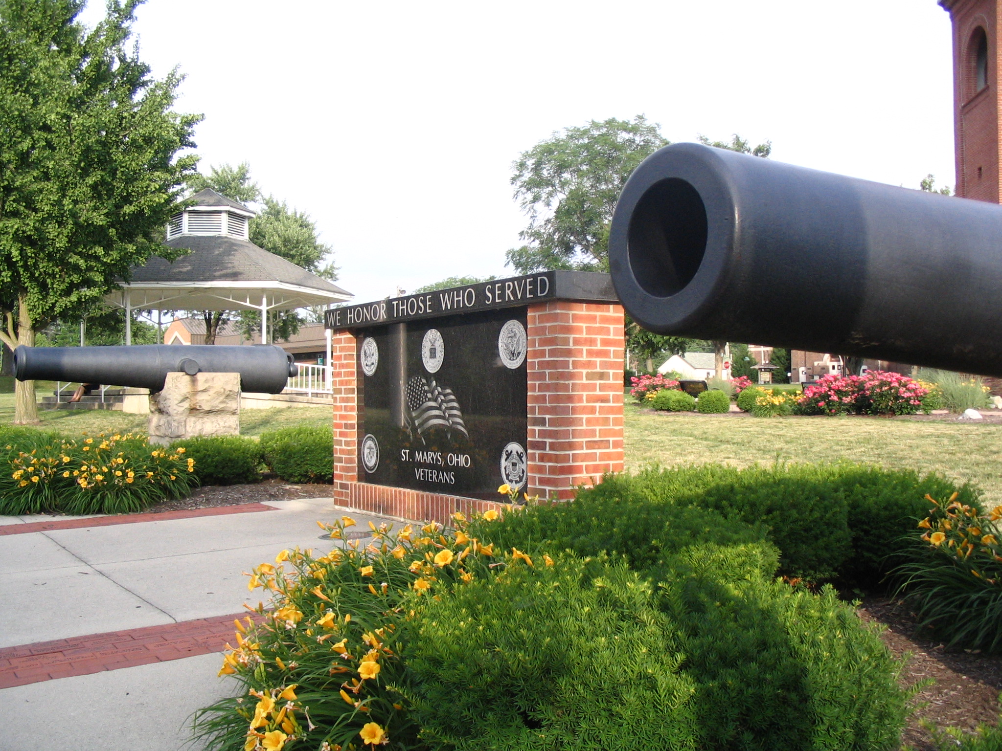
When Mercer County was formed in 1820, St. Mary’s was chosen as its first county seat. The first Court of Common Pleas convened there in February 1825, with Judge Joseph H. Crane presiding, assisted by local Associate Judges James Wolcott, Thomas Scott, and Joseph Greer. The town became the center of legal and political life for the vast, sparsely populated county.
But the true catalyst for the growth of St. Mary’s was the Miami & Erie Canal. Its location at the southern end of the great Mercer County Reservoir, the canal’s primary feeder, ensured its importance. The text describes how, even before the canal, St. Mary’s was the “head of St. Mary’s river” navigation, where “large quantities of flat boats were constructed” to transport flour, salt, whiskey, and goods downriver to Fort Wayne. The canal amplified this role a hundredfold.
The town quickly became a hub of activity. The text lists an impressive array of industries for a frontier community: three grist mills, a woolen factory, a flax mill, two planing mills, and a hub and spoke factory. Its commercial life was equally vigorous, with two large pork packing houses and warehouses lining the canal basin that occupied a place “near the centre of the town.”
The old landmarks of its military past gradually faded. The text notes that the “old block house at St. Mary’s was demolished in 1833-34 by a person who used the material for fuel, exciting greatly the indignation of the inhabitants.” A giant burr oak tree, whose branches had been used by Indians as a covert from which to fire upon the fort, survived for many years but finally “yielded to the pressure of a storm” and fell. From Girty’s outpost to a key port on a great artificial waterway, the history of St. Mary’s encapsulates the entire story of the valley’s progress from a contested wilderness to a thriving agricultural and commercial region.
Works Cited
History of the Maumee Valley, by H.S. Knapp (1873)
- Auglaize County—St. Mary’s in 1872, for the description of the town’s industries, canal basin, and the fate of the old block house and burr oak tree. (p. 471-472)
- Fort Wayne Relieved, for the account of General Harrison’s army assembling at St. Mary’s in 1812. (p. 372-373)
- Mercer County—First Term of Court, for the names of the first judges and the establishment of the county seat at St. Mary’s. (p. 441)
- Auglaize County—Early Settlers, for the mention of the 1818 treaties being held at the house of Charles Murray. (p. 470)
- Mercer County—Pioneers, &c., for the description of St. Mary’s as the head of flatboat navigation. (p. 448)
- St. Mary’s, for its early name, Girty’s Town. (p. 468)

Leave a Reply